Ordnance Survey Roman Britain

Sponsored This site contains affiliate links for which we may receive compensation. More information
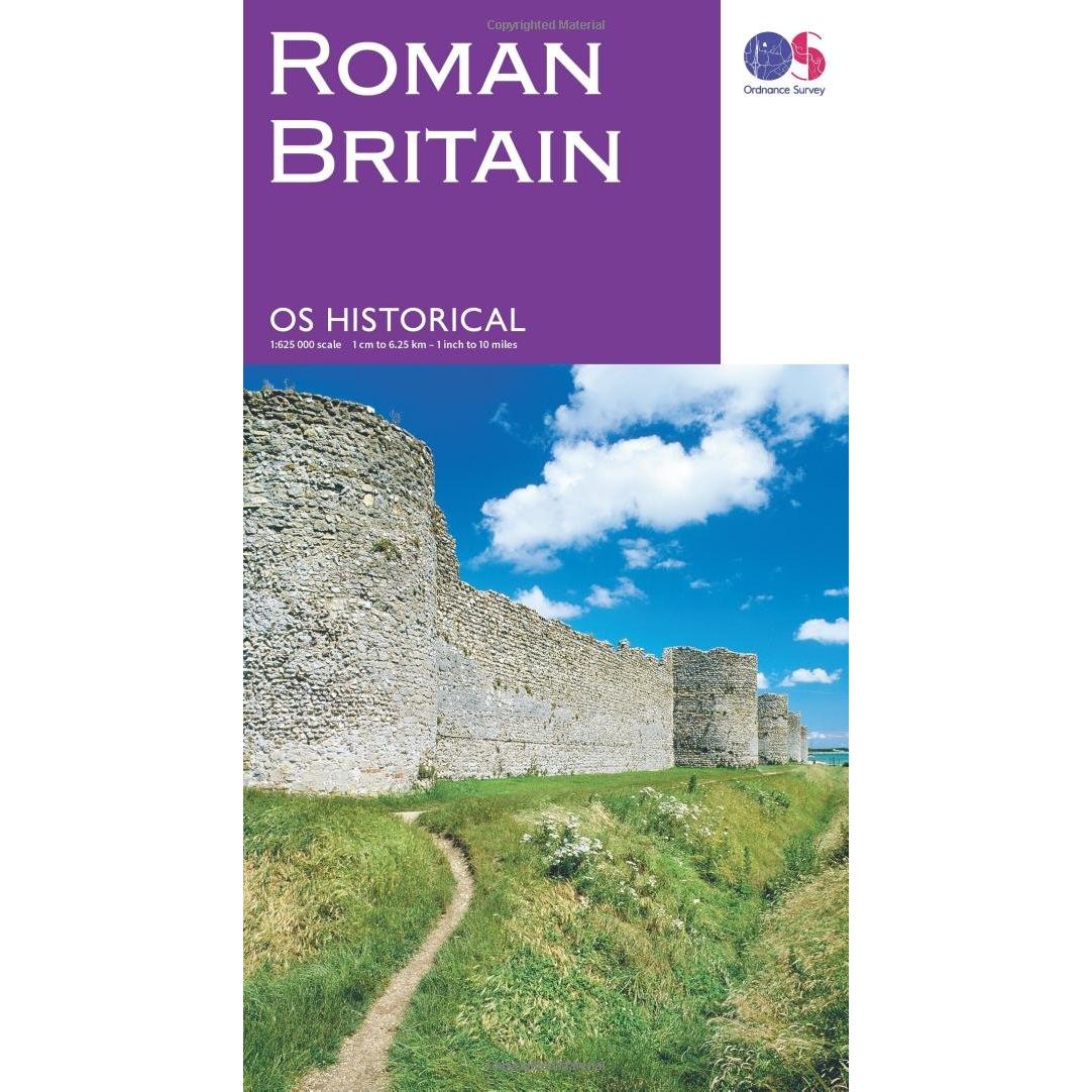
Sponsored Ordnance Survey Roman Britain Map
7.99 GBP
Price updated on: 16-05-2026 19:47:55
7.99 GBP
Price updated on: 16-05-2026 19:47:55
Sponsored Roman Britain
7.99 GBP
Price updated on: 16-05-2026 19:21:13
7.99 GBP
Price updated on: 16-05-2026 19:21:13
Sponsored Roman Britain: Map
7.99 GBP
Price updated on: 16-05-2026 20:28:03
7.99 GBP
Price updated on: 16-05-2026 20:28:03
Sponsored Ordnance Survey Roman Britain Map - Na
7.99 GBP
Price updated on: 16-05-2026 15:12:17
7.99 GBP
Price updated on: 16-05-2026 15:12:17 | Identifiers | |
|---|---|
| ISBN | Ordnance Survey 0319263258 |
| Dimensions / Weight | |
| Key Features | |
|
Category The percentage of alcohol present in an alcoholic beverage, expressed as a proportion of the total liquid volume. It indicates how strong the drink is and helps consumers compare products or comply with legal limits.
|
British & Irish history |
|
Edition A brief statement indicating the edition or version of a product, such as "Reprint", "New Edition", or a numeric edition number like "2nd edition". It identifies which specific release of the item is being referenced.
|
February 2016 ed |
|
Format Indicates the physical or digital format in which a product is presented, such as "Hardback", "Paperback", "DVD", "Blu‑ray", "Vinyl", or other media types. The value may contain multiple comma‑separated items to represent combined attributes (e.g., "Hardback, Illustrated").
|
Sheet map, folded |
|
ISBN A unique identifier assigned to books and other printed publications, typically consisting of 10 or 13 digits. It may include hyphens for readability but is treated as a string value. The ISBN uniquely identifies a specific edition of a title across the publishing industry.
|
9780319263259 |
|
Publication date The calendar date on which the product was first made available to the public or released for sale. It is expressed as a full year, month, and day (YYYY-MM-DD) and can be used to filter or sort items by release period.
|
24/02/2016 |
|
Publisher The name of the entity that publishes or distributes the product, such as a book, magazine, or other media item.
|
Ordnance Survey |

Ordnance Survey is a British mapping company that creates, maintains and sells maps of the United Kingdom. It was founded in 1791 and is the oldest national mapping agency in the world.


