Filters
Brands
Ordnance Survey (289)
Alan Godfrey Maps (83)
Tuttle Publishing (38)
Laurence (31)
HarperCollins Publishers (29)
Michelin Maps (27)
Michelin (18)
Guy Fox Publishing (18)
Shire Publications Ltd (18)
Anatomical Chart Company (18)
The Genuine Company Limited (16)
MAIRDUMONT GmbH & Co. KG (15)
Aboriginal Studies Pr (14)
Mairs Geographischer Verlag,Kurt Mair (14)
Trinity College London (13)
Borch GmbH (13)
Old House Books (13)
Jones and Bartlett Publishers, Inc (13)
Lonely Planet (11)
Field Studies Council (11)
Price ranges
0 € - 5 € (96)
5 € - 8 € (98)
8 € - 10 € (110)
10 € - 13 € (106)
13 € - 17 € (104)
17 € - 35 € (103)
35 € - 1999 € (43)
Data sheet | Books
586 result(s)
<
Previous page
1
2
3
4
5
Next page
>
New Ordnance Survey Explorer 102 Land’s End Map
View Product
New Ordnance Survey Explorer 102 Land’s End Map
View Product
New Ordnance Survey Explorer 102 Land’s End Map
View Product
New Ordnance Survey Explorer OL20 South Devon Map
View Product
New Ordnance Survey Explorer OL20 South Devon Map
View Product
New Ordnance Survey Explorer OL20 South Devon Map
View Product
New Ordnance Survey Explorer OL20 South Devon Map
View Product
New Ordnance Survey Explorer OL20 South Devon Map
View Product
New Ordnance Survey Explorer OL20 South Devon Map
View Product
New OS Explorer OL 28 Dartmoor Map
View Product
New OS Explorer OL 28 Dartmoor Map
View Product
New OS Explorer OL 28 Dartmoor Map
View Product
New OS Explorer OL 28 Dartmoor Map
View Product
New OS Explorer OL 28 Dartmoor Map
View Product
Lyme Regis and Bridport 116 Explorer Map Ordnance Survey With Digital Download
View Product
Lyme Regis and Bridport 116 Explorer Map Ordnance Survey With Digital Download
View Product
Lyme Regis and Bridport 116 Explorer Map Ordnance Survey With Digital Download
View Product
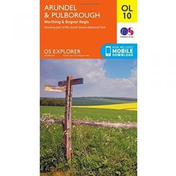
Arundel & Pulborough, Worthing & Bognor Regis by Ordnance Survey NEW
View Product
Arundel & Pulborough, Worthing & Bognor Regis by Ordnance Survey NEW
View Product
Arundel & Pulborough, Worthing & Bognor Regis by Ordnance Survey NEW
View Product
Arundel & Pulborough, Worthing & Bognor Regis by Ordnance Survey NEW
View Product
The Cotswolds Map | Burford, Chipping Campden, Cirencester & Stow-on-the-Wold |
View Product
The Cotswolds Map | Burford, Chipping Campden, Cirencester & Stow-on-the-Wold |
View Product
The Cotswolds Map | Burford, Chipping Campden, Cirencester & Stow-on-the-Wold |
View Product
The Cotswolds Map | Burford, Chipping Campden, Cirencester & Stow-on-the-Wold |
View Product
The Cotswolds Map | Burford, Chipping Campden, Cirencester & Stow-on-the-Wold |
View Product
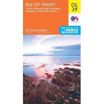
OS Explorer OL29 Isle of Wight (OS Explorer Map Active) by Ordnance Survey Book
View Product
OS Explorer OL29 Isle of Wight (OS Explorer Map Active) by Ordnance Survey Book
View Product
OS Explorer OL29 Isle of Wight (OS Explorer Map Active) by Ordnance Survey Book
View Product
Haslemere & Petersfield, Midhurst & Selborne by Ordnance Survey NEW
View Product
Haslemere & Petersfield, Midhurst & Selborne by Ordnance Survey NEW
View Product
Haslemere & Petersfield, Midhurst & Selborne by Ordnance Survey NEW
View Product
Haslemere & Petersfield, Midhurst & Selborne by Ordnance Survey NEW
View Product
Romney Marsh, Rye and Winchelsea Sheet map, folded
View Product
Romney Marsh, Rye and Winchelsea Sheet map, folded
View Product
Romney Marsh, Rye and Winchelsea Sheet map, folded
View Product
<
Previous page
1
2
3
4
5
Next page
>