Filters
Brands
Ordnance Survey (1705)
Mapseeker Archive Publishing (6)
Pathfinder (5)
Brand Ordnance Survey (4)
Cordee (3)
Springer-Verlag GmbH (2)
Price ranges
0 € - 13 € (1416)
13 € - 17 € (299)
17 € - 22 € (10)
Digital map data | Books
1,693 result(s)
<
Previous page
1
2
3
4
5
Next page
>
OS Explorer OL36 South Pembrokeshire (OS Explorer Map) by Ordnance Survey
View Product
OS Explorer OL36 South Pembrokeshire (OS Explorer Map) by Ordnance Survey
View Product
OS Explorer OL36 South Pembrokeshire (OS Explorer Map) by Ordnance Survey
View Product
OS Explorer OL36 South Pembrokeshire (OS Explorer Map) by Ordnance Survey
View Product
Rutland Water, Stamford and Oakham by Ordnance Survey 9780319244272 | Brand New
View Product
Rutland Water, Stamford and Oakham by Ordnance Survey 9780319244272 | Brand New
View Product
Rutland Water, Stamford and Oakham by Ordnance Survey 9780319244272 | Brand New
View Product
New Ordnance Survey Explorer OL20 South Devon Map
View Product
New Ordnance Survey Explorer OL20 South Devon Map
View Product
New Ordnance Survey Explorer OL20 South Devon Map
View Product
New Ordnance Survey Explorer OL20 South Devon Map
View Product
New Ordnance Survey Explorer OL20 South Devon Map
View Product
New Ordnance Survey Explorer OL20 South Devon Map
View Product
Lyme Regis and Bridport 116 Explorer Map Ordnance Survey With Digital Download
View Product
Lyme Regis and Bridport 116 Explorer Map Ordnance Survey With Digital Download
View Product
Lyme Regis and Bridport 116 Explorer Map Ordnance Survey With Digital Download
View Product
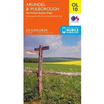
Arundel & Pulborough, Worthing & Bognor Regis by Ordnance Survey NEW
View Product
Arundel & Pulborough, Worthing & Bognor Regis by Ordnance Survey NEW
View Product
Arundel & Pulborough, Worthing & Bognor Regis by Ordnance Survey NEW
View Product
Arundel & Pulborough, Worthing & Bognor Regis by Ordnance Survey NEW
View Product
Haslemere & Petersfield, Midhurst & Selborne by Ordnance Survey NEW
View Product
Haslemere & Petersfield, Midhurst & Selborne by Ordnance Survey NEW
View Product
Haslemere & Petersfield, Midhurst & Selborne by Ordnance Survey NEW
View Product
Haslemere & Petersfield, Midhurst & Selborne by Ordnance Survey NEW
View Product
Romney Marsh, Rye and Winchelsea Sheet map, folded
View Product
Romney Marsh, Rye and Winchelsea Sheet map, folded
View Product
Romney Marsh, Rye and Winchelsea Sheet map, folded
View Product
Brecon Beacons Western & Central Ordnance Survey Explorer Map OL 12
View Product
Brecon Beacons Western & Central Ordnance Survey Explorer Map OL 12
View Product
Brecon Beacons Western & Central Ordnance Survey Explorer Map OL 12
View Product
New OS Explorer OL13 Brecon Beacons National Park - Eastern Area Map
View Product
New OS Explorer OL13 Brecon Beacons National Park - Eastern Area Map
View Product
New OS Explorer OL13 Brecon Beacons National Park - Eastern Area Map
View Product
Ordnance Survey Map of Cardigan & Mynydd Preseli
View Product
Ordnance Survey Map of Cardigan & Mynydd Preseli
View Product
Ordnance Survey Map of Cardigan & Mynydd Preseli
View Product
<
Previous page
1
2
3
4
5
Next page
>